Slide 1 of 17
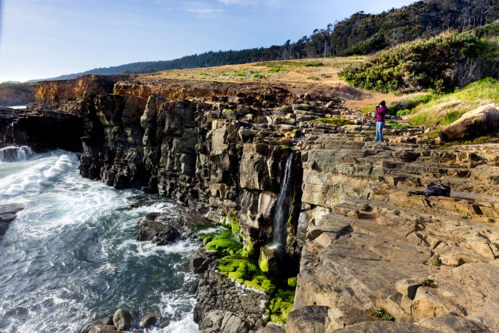
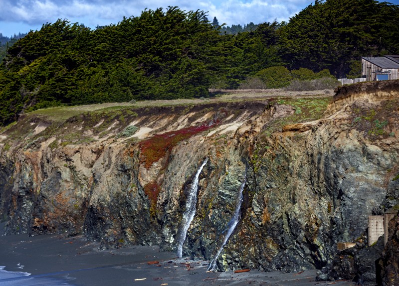
Phillips Gulch Falls, Salt Point State Park, Jenner: This seasonal waterfall flows from Phillips Creek through Kruse Rhododendron State Natural Reserve and under Highway 1 before it makes its way through the narrow Phillips Gulch, cascading over the cliff and into ocean. Park in the Stump Beach Cove parking lot and walk north along the coast to the gulch and see the water spilling over the rocks below. (Leslie Wells / Shutterstock)
Slide 2 of 17
Stengel Beach, Sea Ranch, Sonoma Coast: Secluded in a cove of rocky bluffs, this beach and its seasonal falls are surprisingly easy to get to. Simply park in the Stengel Beach parking lot and take a five-minute stroll along the cypress-lined access trail and down the wooden stairs to the beach. The peaceful 20-foot falls are immediately to the right at the bottom of the steps. (Chris Hardy)
Slide 3 of 17
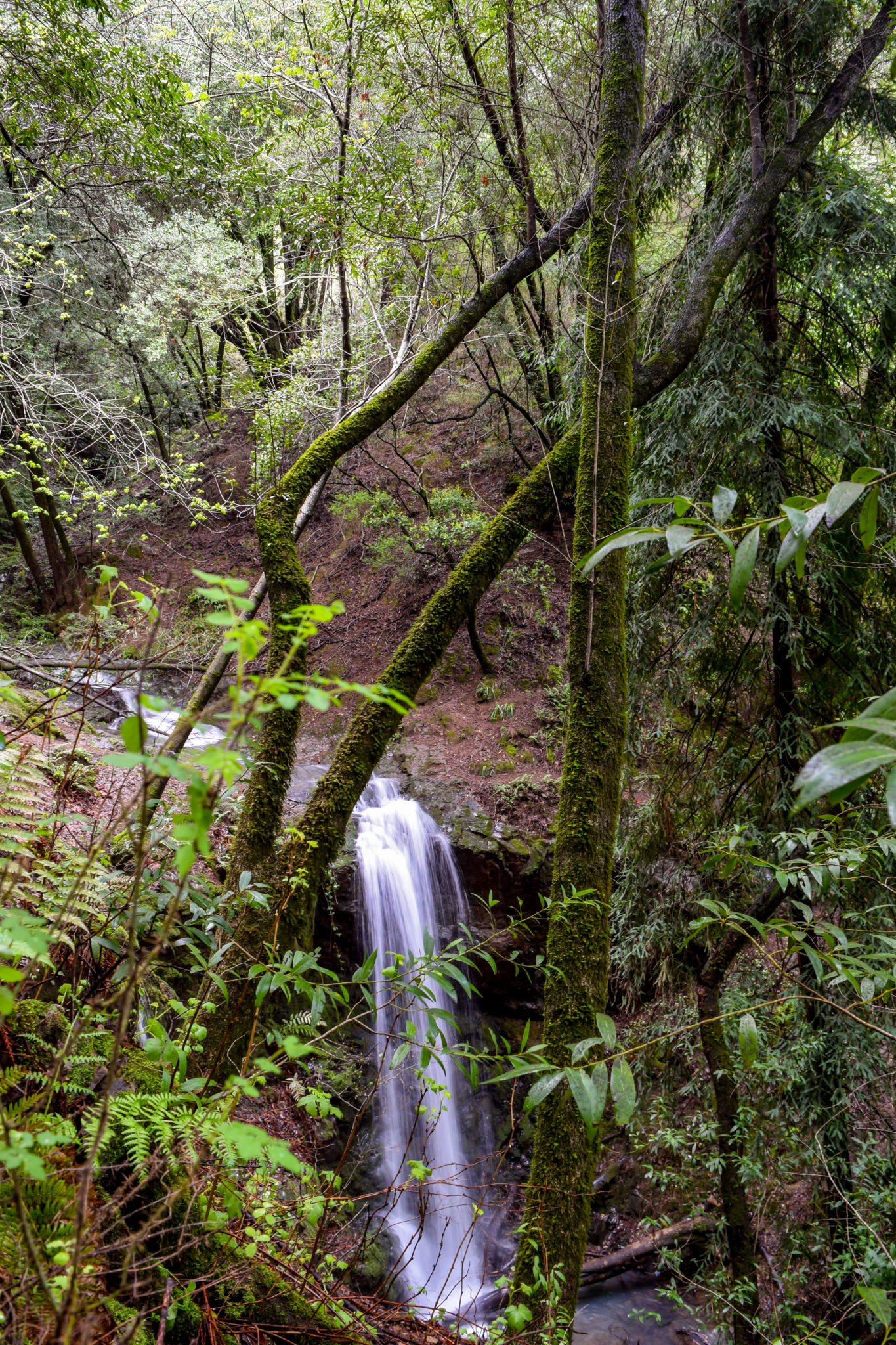
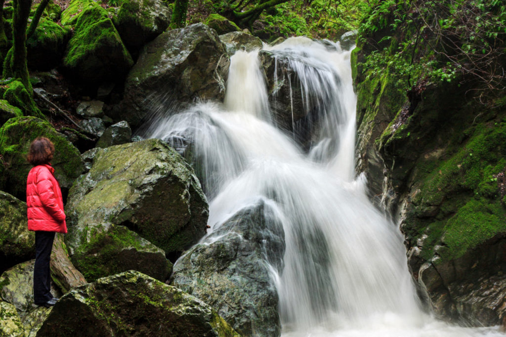
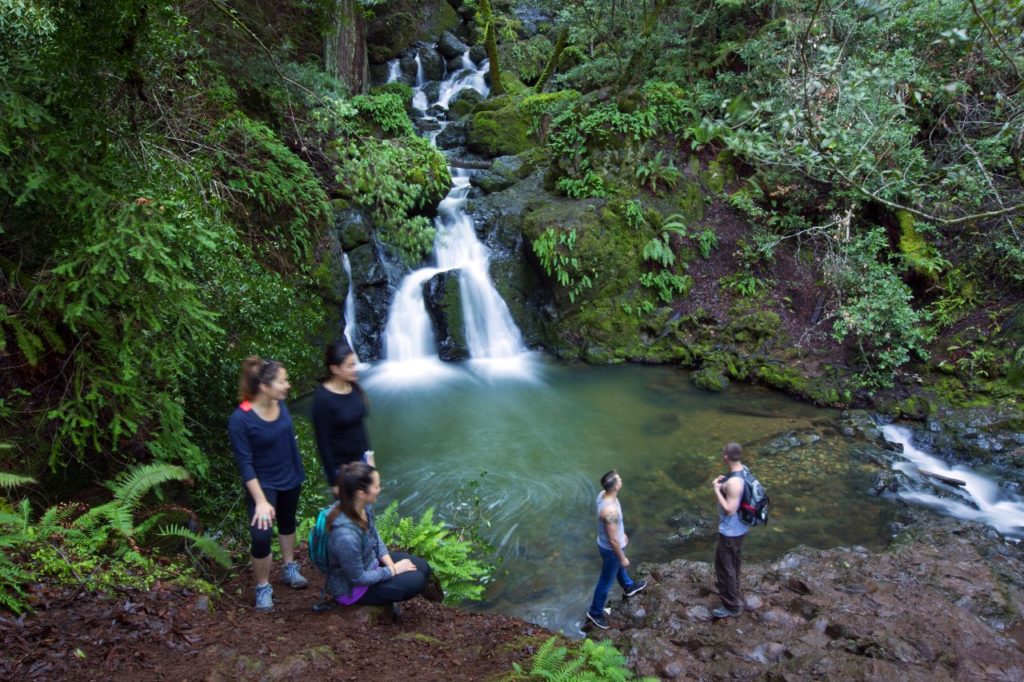
Sonoma Creek Falls, Sugarloaf Ridge State Park, Kenwood: A local favorite, Sugarloaf’s 25-foot waterfall is surrounded by moss-coated boulders and towering redwoods, forming a serene nook you won’t want to leave. The Lower Canyon Trail, starting from Adobe Canyon Road (before you reach the parking lot), offers a level and brief saunter to Sonoma Creek Falls in as little as a third of a mile. (Chris Hardy)
Slide 4 of 17
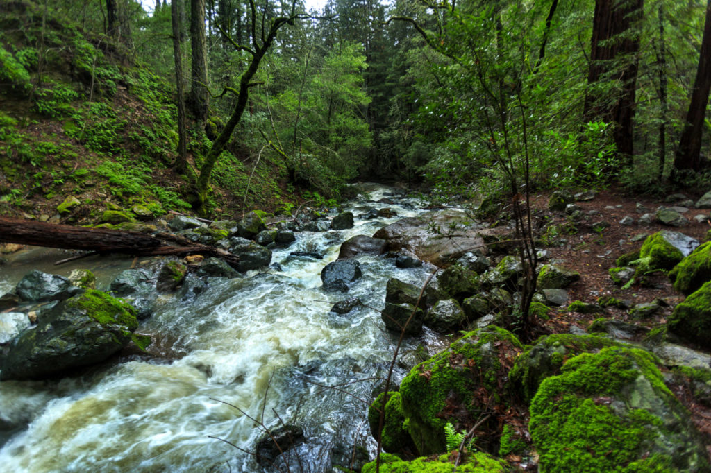
Starting near the visitor’s center, the Upper Canyon Trail descends a fairly steep 450-foot drop to the falls in just under half a mile. For those who want the full effect of winding through the lush forested canyon, take the 2-mile loop starting from the Pony Gate Trail that links up with the Canyon Trail and then travel upstream along Sonoma Creek to the gushing falls. (Chris Hardy)
Slide 5 of 17
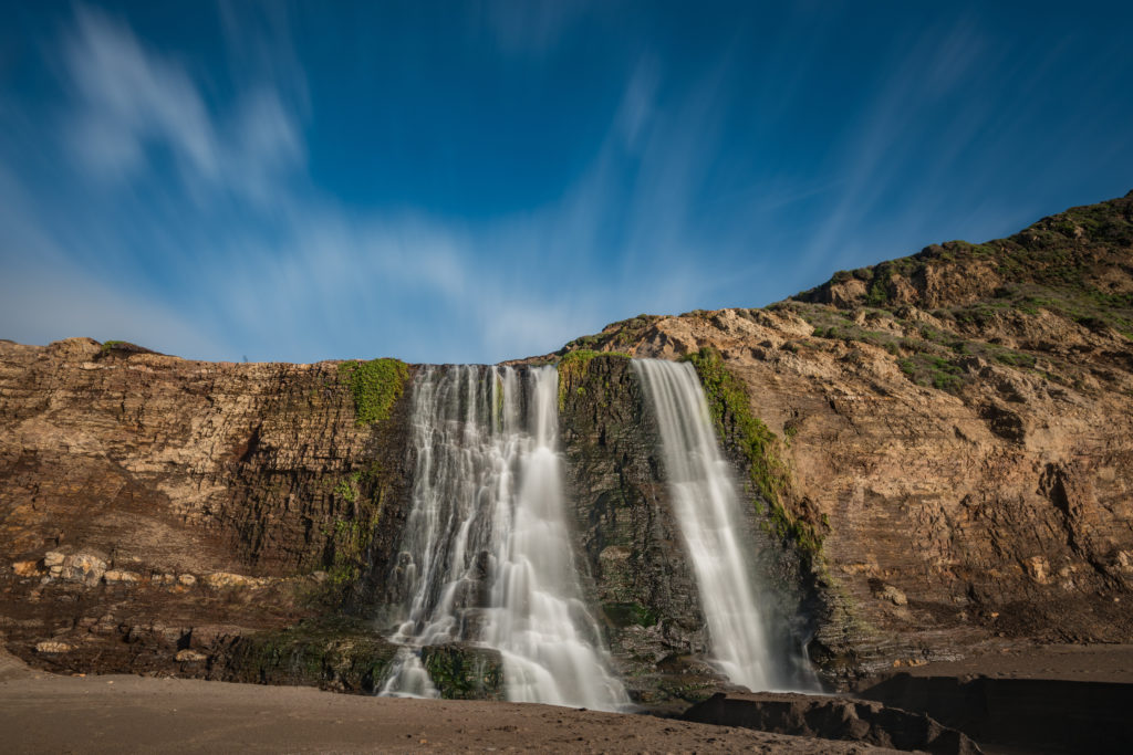
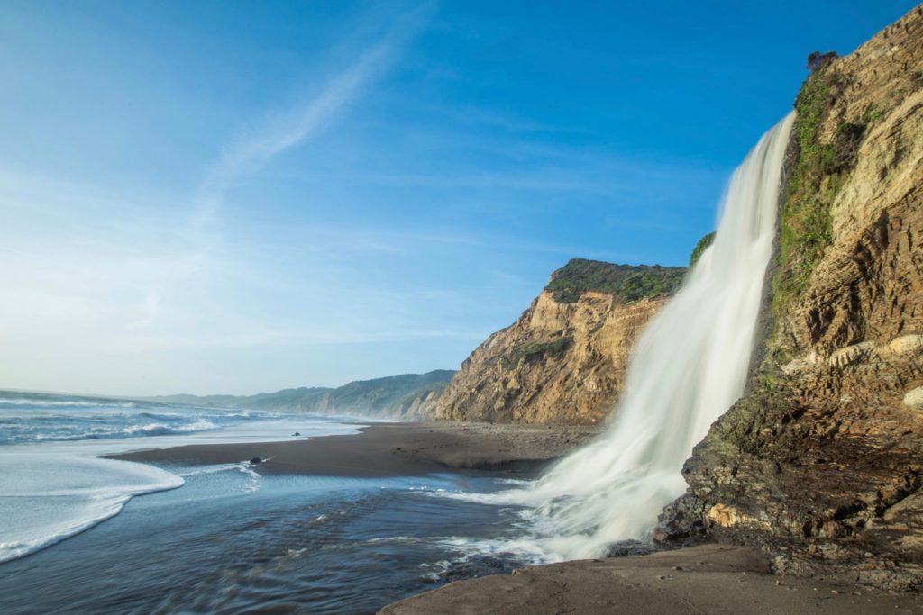
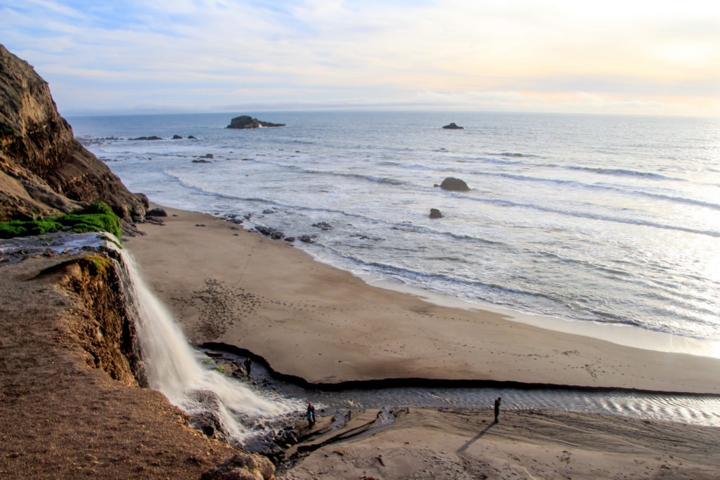
Alamere Falls, Point Reyes National Seashore, Marin County: This spectacular and rare tidefall is a sight to behold after a decent rain, as Alamere Creek flows and plummets over the nearly 40-foot mossy, shale cliff and ripples over the beach into the ocean. There are a few designated and maintained trails to reach the falls, but the National Park Service warns not to get too close to cliff edges as coastal erosion is common. (Jeremy Borkat/Shutterstock)
Slide 6 of 17
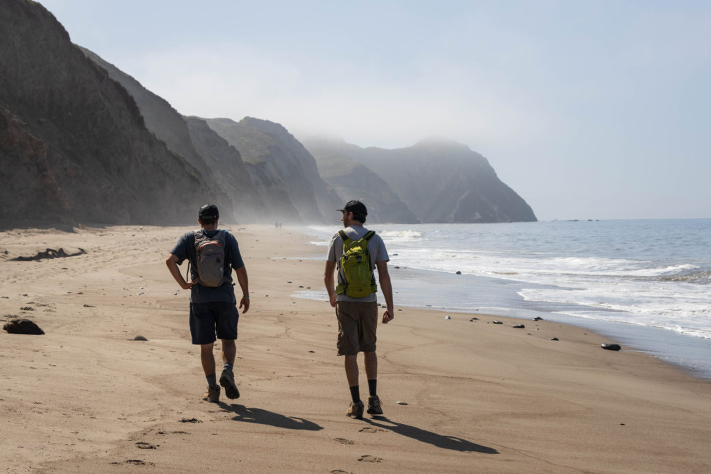
The safest way to get to the Alamere Falls, according to the National Park Service, is to hike to Wildcat Campground and then to Wildcat Beach, walking south on the shore for about a mile at low tide. The two most common and trusted routes to Wildcat Campground are the Bear Valley and Palomarin trailheads. (Osaze Cuomo/Shutterstock)
Slide 7 of 17
From the Bear Valley Visitor Center off Bear Valley Road, traverse the Bear Valley Trail south for about three miles and turn left onto Glen Trail. After about a mile you’ll approach the connector trails leading to the Coast Trail — turn right to follow the Coast Trail to Wildcat Campground (0.3 miles longer than the Glen Trail) or keep left to stay on Glen Trail. Either trail eventually leads to Stewart Trail, which you'll follow 1.2 miles downhill to reach the campground. The full trek, including the walk from the camp to the beach falls, is just over seven miles. (Eddie Hernandez/Shutterstock)
Slide 8 of 17
The Palomarin Trailhead begins north of Bolinas at the northwestern end of Mesa Road. This 6 ½-mile hike is a rewarding yet challenging one with various switchbacks and elevation changes. From the trailhead, you hike north up the Coast Trail for about five miles, passing a few lakes on the way, until you reach a fork. Keep right to stay on the Coast Trail, which travels more inland through coastal shrubbery, or turn left on to the Ocean Lake Loop Trail, which has dramatic drops and steep climbs along the bluffs. Both trails link up after about a mile and descend shortly to the campground. (Eddie Hernandez/Shutterstock)
Slide 9 of 17
Cataract Falls, Mount Tamalpais Watershed, Marin County: The Mount Tamalpais Watershed houses a number of waterfalls, with one of the most popular being the picturesque cascades of Cataract Falls. The Cataract Trailhead begins on Fairfax-Bolinas Road, hugging the southwest end of Alpine Lake. Follow the trail uphill past East Fork Cataract Creek and the Laurel Dell picnic area, after which the trail descends to the falls (approximately three miles). (Ethan Daniel/Shutterstock)
Slide 10 of 17
For a longer but mostly flat hike, begin at the Rock Spring Trailhead off Ridgecrest Boulevard and travel north on Cataract Trail, which criss-crosses the creek several times. Just before you get to the waterfall on this trail, you’ll pass the junction of Cataract and Helen Markt trails where there’s a decent-sized pool to relax at. (John Burgess)
Slide 11 of 17
Carson Falls, Mount Tamalpais Watershed, Marin County: This gorgeous, multi-tiered waterfall is just under five miles west of Fairfax and has multiple simple routes to get there. The most popular path consists mainly of fire roads and begins at the junction of Fairfax-Bolinas Road and Pine Mountain Fire Road. Follow the rocky Pine Mountain Trail from the parking area for about a mile and turn left on Oat Hill Fire Road, which you walk for about 150 yards until you reach Little Carson Trail on the right. Travel down that trail for about a half mile to the falls. (John Burgess)
Slide 12 of 17
Steep Ravine, Mount Tamalpais State Park, Mill Valley: Three miles east of Marin’s famed Stinson Beach, Webb Creek flows through Mount Tamalpais State Park’s wooded Steep Ravine, creating a number of modest, tranquil waterfalls surrounded by foliage. The rugged Steep Ravine Trail — the only trail in Marin that features a ladder (nearly 15 feet in length) — begins at the Pantoll Campground on Coastal Fire Road off Panoramic Highway and meanders southwest along the creek. The full trail stretches about two miles down to Highway 1 near Rocky Point Road, but this trail can be combined with the Dipsea and Old Mine trails to create a 3.5-mile loop that has spectacular views of both the redwood canyon’s waterfalls and the city skyline. (Alex Gotz/Shutterstock)
Slide 13 of 17
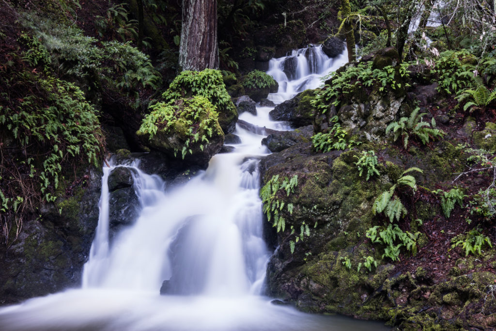
Cascade Falls, Cascade Canyon Open Space Preserve, Fairfax: The trout-laden Cascade Creek flows through the lush evergreen forests of this preserve and spills down the serene Cascade Falls. The 1.5-mile out-and-back hike to the falls is easy, lightly trafficked and accessible year-round, making it an ideal waterfall hike for the whole family. From the crook in Cascade Fire Road near Middle Fire Road, simply walk along Cascade Falls Trail for about six minutes to reach the falls. *Note: There is a second, smaller Cascade Falls in Marin at Mill Valley’s Cascade Park, a short and simple hike (about a quarter mile) near some suburbs. (Lucy Autrey Wilson/Shutterstock)
Slide 14 of 17
Dawn Falls, Baltimore Canyon Open Space Preserve, Kentfield: A few miles west of Larkspur sits this 193-acre preserve’s blissful, babbling Dawn Falls. The easiest way to get there is to start from the western edge of Madrone Avenue and follow Dawn Falls Trail along the redwood-lined Larkspur Creek for just over a mile to the falls. You could also access the waterfall from the falls trail entrance on Southern Marin Line Fire Road — a 10-minute walk starting from the Crown Road trailhead that’s a half mile north of the falls. (Courtesy of Dawna Mirante/@smilinginsonoma)
Slide 15 of 17
Fairway Falls, Ignacio Valley Preserve, Novato: This rippling, fern-encased waterfall lies at the northernmost edge of the preserve, which is easily accessible starting from the end of Fairway Drive. Saunter west on the Buck Gulch Falls Trail, which begins paved then narrows and turns into a dirt path, for a little over half a mile to reach the falls. This short, beautiful waterfall hike is great for kids as well as dogs (on a leash). (Courtesy of Andre Gregoire/@andre.takes.photos)
Slide 16 of 17
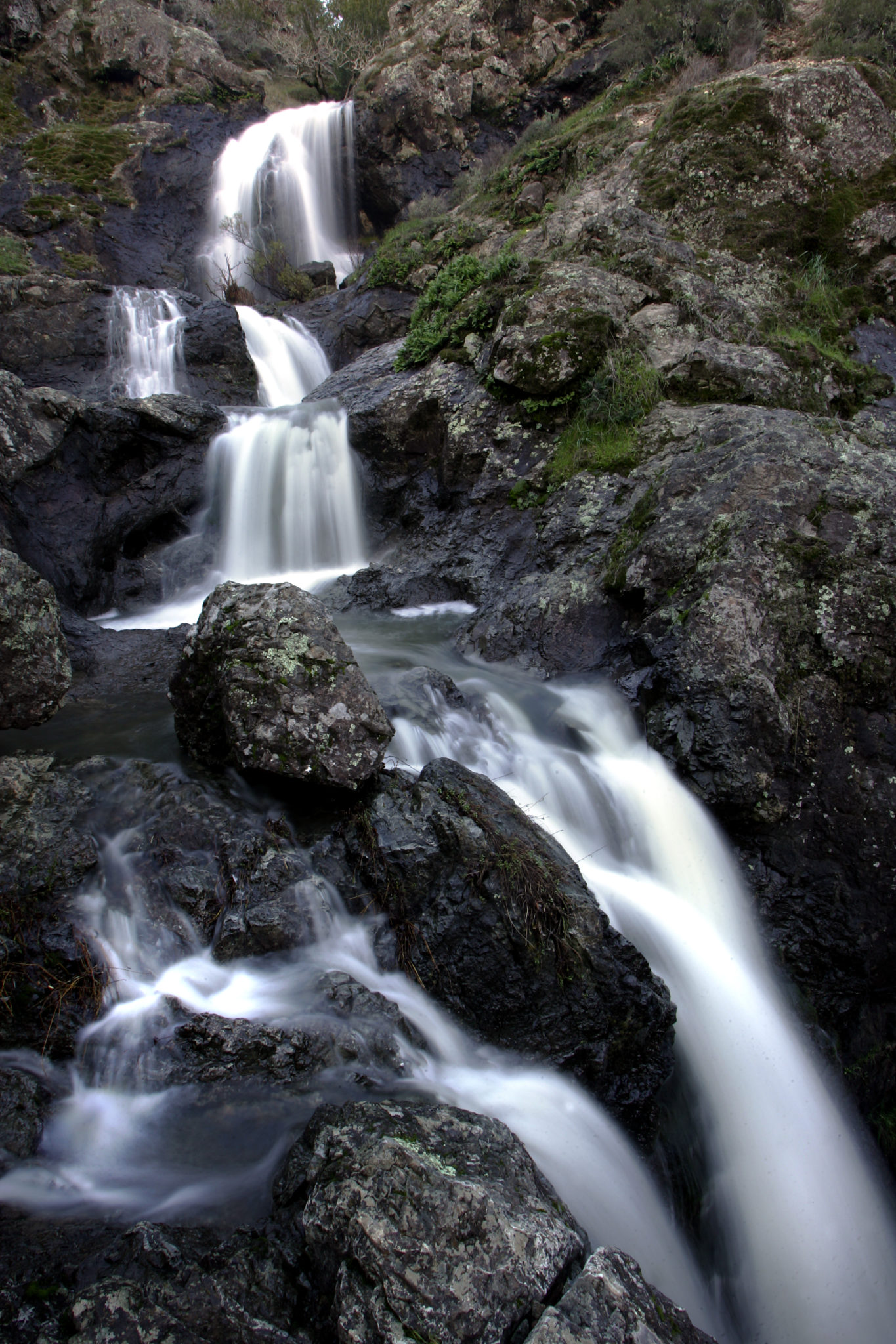
Waterfall Trail, Indian Valley Open Space Preserve, Novato: Wander through Indian Valley Preserve’s nearly 560 acres of oak, bay and madrone forests during the rainy season and you’re sure to stumble upon Ken Harth Waterfall, a rushing, 10-foot cascade down a sleek, mossy rock face. The waterfall trail can be accessed easily from the Indian Valley Fire Road that extends from the College of Marin's Indian Valley campus off Ignacio Boulevard, a hike just under a mile. If you want to make the most of your falls trek, walk the fire road south past Pacheco Pond and traverse the switchbacks along the loop of Ken Harth Waterfall Trail (and maybe take a detour on Susan Alexander Trail to check out some wildflowers and black oaks). (Courtesy of Rob Mirante/@hikethenwine)
Slide 17 of 17
Tucker Trail Falls, Baltimore Canyon Open Space Preserve, Kentfield: Phoenix Lake, on the east side of the preserve, feeds into Bill Williams Creek below with canyons forming several small waterfalls flowing between the flora and foliage around the route that hugs it — Tucker Trail. The best way to access this trail is from the Harry Allen Trail on Crown Road west of Kent Woodlands, walking down the path for about a quarter of a mile and turning left on Tucker Trail. The route intertwines with the creek a few times and ends at Eldridge Grade Fire Road; a moderate, 3.4-mile out and back trail. For a more varied hike on the way back, take Bill Williams Trail, which runs along the other side of the creek and is spotted with several wooden bridges. (Courtesy of Scott Smith/Ideasyndicate)
