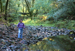
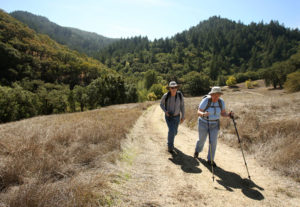
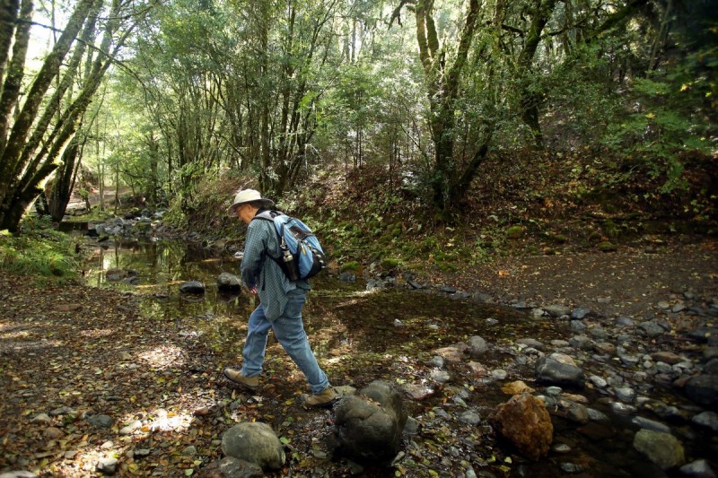
The season can lend itself to cozily overindulging in gluttonous gatherings, and forgetting to get outside to stretch the legs in pursuit of sound mind and body. Don’t let that happen. It’s a lovely season to be out in Northern California’s profound nature, the air crisp, the leaves still changing color, the streams and creeks just beginning to course with water.
Within just a short drive or bike ride in any direction, there is a place to take it all in. So gather up the holiday guests and reluctant family members to join in the fun and fresh air. Here are our suggestions for some of the best off-the-beaten-track trails for hikers of all skill levels.
EASY
There are plenty of good choices for an easy hike in the area, including the interesting Laguna de Santa Rosa trail between Santa Rosa and Sebastopol and the popular Armstrong Redwoods State Natural Reserve in Guerneville.
But for something a little different, a post-holiday-feast adventure, how about a trip to the Napa-Sonoma Salt Marsh?
Never heard of it? Don’t feel bad because you’re not alone.
Although it’s open to the public, the little-known Salt Marsh isn’t a park; it’s a nature preserve owned by the state Department of Fish and Wildlife (DFW). It lies east of Sonoma along the Napa County line at the edge of San Pablo Bay.
What once were sprawling tidal marshes were divided and surrounded with levees by farmers in the 1850s, and the resulting ponds were later used to produce salt. That long-discontinued salt production left a toxic residue that has taken decades and millions of dollars for federal and state agencies to clean up.
The ongoing work is nearly complete, leaving 10,000 acres of tidal marsh and seawater ponds teeming with birds, fish and other coastal wildlife.
“It’s just a great place to go out and experience wildlife,” says Larry Wyckoff, senior environmental scientist for DFW. “You can go out for a nice walk, bird watch, do photography.”

A couple of things to remember as you stroll along the broad, flat levees: no dogs, even on leashes. And hunting is allowed by permit, so don’t be alarmed by the sound of gunfire or the sight of parties of armed hunters, particularly during the fall duck season.
Also, even though the land is open to the public, parking areas aren’t always well-marked. The easiest to access is on the Napa County side, just past Bouchaine Vineyards, at 1075 Buchli Station Road. Drive past the barn and take a right on the dirt road past the vineyard; follow it to the railroad crossing and park at the DFW offices.
And best of all, when the walk is over, there are many great wineries dotting the rolling Carneros hills to visit.
MEDIUM
To experience the full range of mountain environments in the North Bay, and do it on a relatively short hike, head over the mountain to Bothe-Napa Valley State Park on Highway 29, midway between Calistoga and St. Helena.
The park features more than 10 miles of trails, including the easy Petrified Forest Loop. The centerpiece is the Ritchey Canyon Trail, which reaches nearly four miles up the narrow canyon, winding along a stream. Along the trail are several scenic spurs, including the Redwood Trail and the South Fork Trail, each about a mile long.
Taken together, the trail and its spurs represent all the lovely environments common to the Mayacamas Mountains, including forests of oak and madrone, evergreens and majestic stands of redwoods.
The trail starts fairly gently but gets progressively steeper and more challenging as you climb. But there is much to see and the scenery is constantly changing, so it will be worthwhile no matter how far you make it up the mountain. Do try to at least make it to the Redwood Trail, to experience the amazing stillness that exists at the heart of a circle of redwoods.
Middle school teacher Todd Mills enjoys the park frequently and has taken students from St. Helena there as part of an after-school hiking club. The park has a nice mix of rugged spots and some gentler spots, he said, where the less-athletically-inclined “can just kind of stroll along and enjoy nature.”
Once the hike is done, be sure to visit the surprisingly fascinating Bale Grist Mill next door, the last fully water-powered mill in the West. The 1846 mill grinds fresh wheat and corn on weekends, and the flours are available every day at the gift shop.

DIFFICULT
There are plenty of challenging hikes in the region, but a little-known gem among them is actually hiding in plain view of Santa Rosa, in the form of 2,700-foot Hood Mountain.
There are a variety of ways to access the peak from Highway 12 on the eastern edge of Santa Rosa, including a trail from Pythian Road, but Sonoma County Regional Parks Director Caryl Hart, herself an avid hiker, recommends starting from the newly repaired parking lot on Los Alamos Road, heavily damaged by a 2005 flood.
There are a variety of trails through the park, but the Hood Mountain Trail, which leads to the rocky peak, takes about four hours. It starts gradually, winding up through an oak forest, transitioning to a meadow, and then a forest of fir trees, becoming ever steeper and challenging until it opens onto the rocky crown, giving unparalleled views in all directions.
Fall and winter are the perfect times to visit, Hart says, because in the rainy season, wild creeks spring to life all over the park, a rare sight in the otherwise well-settled Santa Rosa area.
Because it is mostly undisturbed wilderness, hikers should come prepared, particularly if they’re considering making it all the way to the peak: bring water and food, and wear sturdy shoes and appropriate outdoor clothing in layers. Unlike in state parks, dogs are permitted in the Hood Mountain park, although they must be leashed.
There is no fee to enter the park, but the parking lots cost $7 per vehicle, or $1 per person for vans and other vehicles carrying 10 or more people. The new north parking lot is at 3000 Los Alamos Road, Santa Rosa; the south lot is at 1450 Pythian Road, Santa Rosa.


