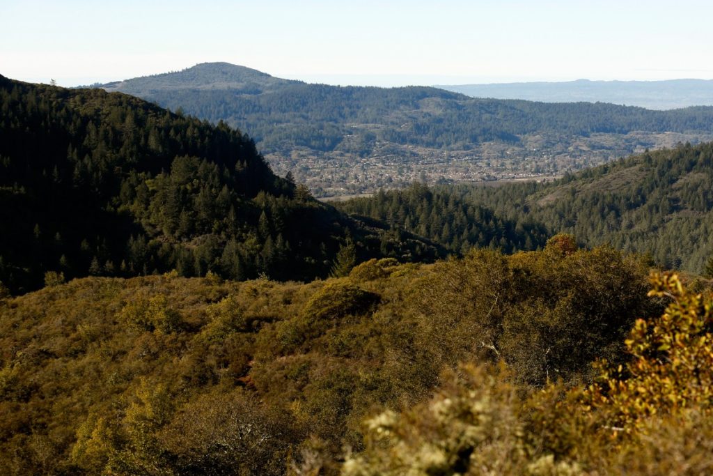
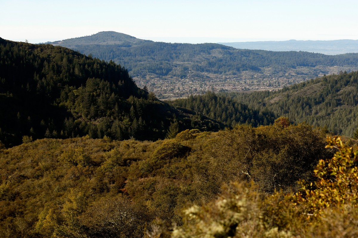
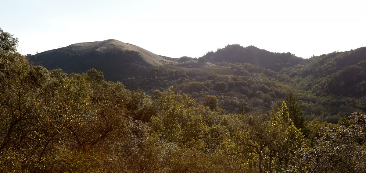
Sugarloaf Ridge State Park is located in the heart of the Mayacamas Mountains high above the town of Kenwood. Towering Bald Mountain, the park’s highest peak at 2,729 feet, straddles the county line between Sonoma and Napa Counties.
This strenuous hike forms a large loop from the lower sloping meadow to the Bald Mountain summit. At the summit are 360-degree vistas that span from the Sierra Nevada Range to the San Francisco skyline and the Golden Gate Bridge. The views extend down both Sonoma Valley and Napa Valley.
Two illustrated panels point out more than 30 of the surrounding peaks, towns and valleys. The Gray Pine Trail (the return route) follows the isolated Sugarloaf Ridge for over a mile along the county border, then descends along the headwaters of Sonoma Creek.
To the Trailhead
2605 Adobe Canyon Road, Kenwood (38.437811, -122.514194)
Santa Rosa
From Highway 101 and Highway 12 in Santa Rosa, drive 11.4 miles west and south on Highway 12 (Sonoma Highway) to Adobe Canyon Road on the left. Turn left and continue 3.5 miles up the winding mountain road to the large trailhead parking area on the left. It is located 0.1 mile past the park entrance station. A parking fee is required.
Kenwood
From the town of Kenwood, drive 0.9 miles north on Highway 12 (Sonoma Highway) to Adobe Canyon Road on the right. Turn right and continue 3.5 miles up the winding mountain road to the large trailhead parking area on the left. It is located 0.1 mile past the park entrance station. A parking fee is required.
The Hike
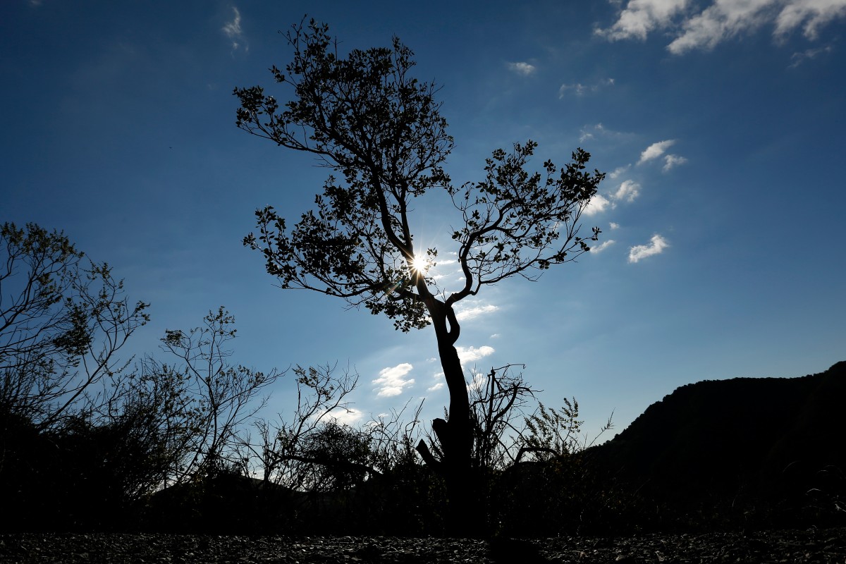
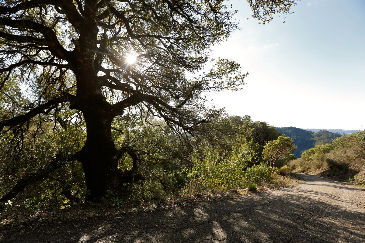
Walk past the trailhead map and head up the grassy slope. Weave through an oak grove to a meadow and a triangle junction. The right fork leads to the observatory on the Meadow Trail. Go to the left on the Lower Bald Mountain Trail, beginning the loop. Climb to the upper end of the meadow, and enter an oak grove with manzanita and madrone. At one mile the trail reaches the Bald Mountain Trail, a paved fire road.
Bear right and head up the narrow road to sweeping views of Sonoma Valley and the surrounding mountains. Pass the Vista Trail at 1.2 miles on a U-shaped bend. (For a shorter 4.5-mile loop, take the Vista Trail to the right.) Continue straight, weaving up the contours of the forested mountain. Pass a couple of stream-fed gullies and overlooks. At two miles, the Red Mountain Trail cut-across breaks off to the right.
For this hike, continue 0.4 miles to a road on the left that leads up to the top of Red Mountain. The short quarter-mile paved road leads up to the microwave tower at the 2,548-foot summit of Red Mountain. The road ends at a gate before reaching the tower.
Back on the main trail, weave up the dirt road on the upper mountain slope to amazing vistas. The final ascent curves clockwise to a junction with the High Ridge Trail. Bear right and walk 80 yards to the Gray Pine Trail on the left, just short of the summit. Detour right to the 2,729-foot bald summit with a bench, 360-degree vistas, and two interpretive maps.
After resting and savoring the views, return 20 yards to the Gray Pine Trail. Descend along the rolling grassy ridge, which follows the Napa-Sonoma county line. The views extend down both valleys from the ridge. Enter a mixed forest and continue east, staying on the ridge to the junction with the east end of Red Mountain Trail and a picnic bench at 3.6 miles. At just under four miles, curve right, leaving the ridge, and head south to a signed junction with the Brushy Peaks Trail.
Bend right, staying on the Gray Pine Trail, and steadily descend on the wide dirt trail. At 4.8 miles, curve left and follow a branch of Sonoma Creek in an oak grove. Make an S-bend and cross another feeder creek. Parallel and hop over Sonoma Creek to a junction with the east end of the Vista Trail at 5.3 miles. Ford the creek again, reaching a T-junction with the Meadow Trail.
Bear right and cross a wood bridge over Sonoma Creek to Heritage Tree, a massive big leaf maple tree on the banks of Sonoma Creek. Stroll through the open meadow along Sonoma Creek to the Ferguson Observatory at 6.4 miles. Leave the road and take the Meadow Trail to the right. Walk up the slope and veer left at the triangle junction, completing the loop at 6.6 miles.
Retrace your steps 0.4 miles to the left, back to the parking lot.
Pets are permitted in the campground and picnic area, and on paved roads in the main park area, but not on park trails or in the backcountry areas and roads. Pets in the allowed areas must be on a leash no longer than six feet, and kept inside a vehicle or tent at night.
Photography by Alvin Jornada.
Robert Stone is the author of “Sonoma County Dayhikes” (Dayhike Books, 2016).


