


Mount Saint Helena is the tallest peak in Sonoma County at 4,339 feet. It is located in Robert Louis Stevenson State Park north of Calistoga, at the intersection of Sonoma, Napa and Lake counties.
A 5.3-mile trail winds through the undeveloped park to the volcanic mountain’s North Peak. The route utilizes a long and sinuous fire road on a south-facing slope, exposed to sun and wind.
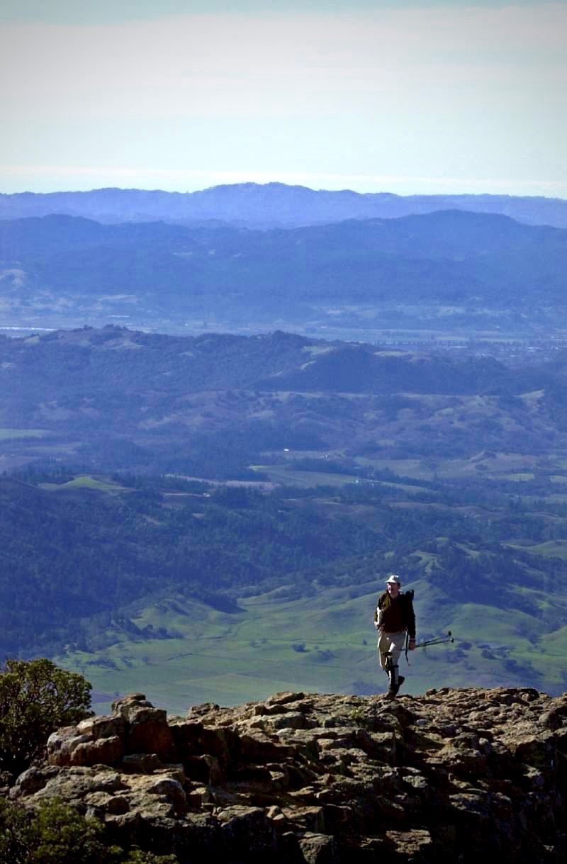
The popular hiking and biking route steadily climbs but is never steep. The long distance and substantial elevation gain, however, make it a strenuous hike.
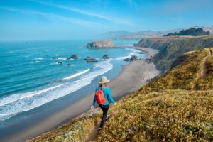
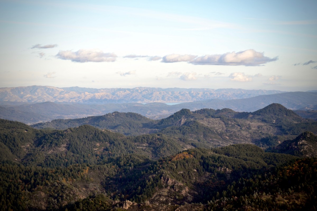
Throughout the hike, the views are spectacular. From the summit are 360-degree vistas that extend across Napa Valley to Mount Tamalpais, to San Francisco and the twin peaks of Mount Diablo in the south, Mount Lassen and Snow Mountain in the north, the Vaca Mountains in the east and the coastal ranges and the ocean in the west.
To the Trailhead
4625 Lake County Hwy., Calistoga
Robert Louis Stevenson State Park is located in Napa Valley, northeast of Calistoga on Highway 29. Three main routes access Napa Valley from Sonoma County.
From the north, access is via Highway 128 out of Geyserville and Healdsburg. From Santa Rosa, access is via Calistoga Road off of Highway 12 (15 miles). From the south, access is via Highway 12, south of the town of Sonoma.
From Highway 29 and Lincoln Avenue in Calistoga, drive 8.5 miles northeast on Lincoln Avenue (Highway 29), through town and up the winding mountain road. Park in the parking area on the left at the road’s summit.
Additional parking is in a larger parking area directly across the road.
The Hike
Walk up the steps to a flat, grassy picnic area and posted trailhead. Head up the forested hillside on the rock-embedded path. Six switchbacks zigzag up the forested mountain. In a shady flat at 0.7 miles is the Stevenson Memorial, a stone monument by a mossy rock formation. Climb two more switchbacks to the Mount Saint Helena Trail, a T-junction with a service road at 0.85 miles. The right fork loops down the hillside back to Highway 29 (Hike 50).
Go to the left on the Mount Saint Helena Trail. The trail/fire road climbs 1,600 feet over the next 4.5 miles. As the trail climbs up the hillside, the views open to Napa Valley and the surrounding mountains. Pass above Silverado Mine on the left, which is no longer visible.
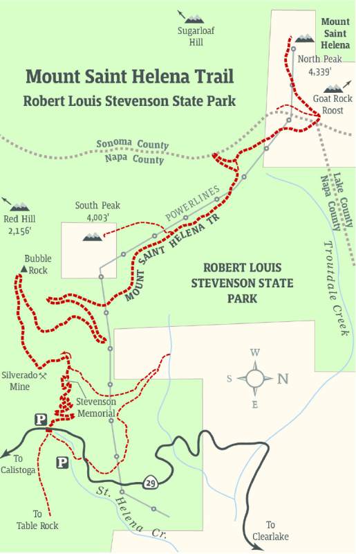 At 1.6 miles, on a horseshoe right bend, is weather-chiseled Bubble Rock, a pock-marked igneous formation that is popular with rock climbers.
Continue up the well-graded road cut into the chaparral-covered slope, with views across Napa County and Sonoma County. The exposed terrain is dotted with manzanita, small oaks, knobcone pines, bay laurel and greasewood.
Make a sweeping left bend at 2.25 miles, passing fractured rock columns. Cross under power lines and continue a half mile to a road junction on a saddle at 3.6 miles. The left branch leads 0.5 miles to 4,003-foot South Peak, the lower summit.
Continue north (straight ahead) between North and South Peaks, with a view of Lake Berryessa on the right. Continue to a ridge at 4.5 miles. Veer left, entering Sonoma County, and head west toward the peak. Pass through groves of sugar pines and Douglas firs, then leave the forest for the final ascent.
At the summit, pass a group of communication structures to the rocky north face above Rattlesnake and Bradford canyons. After resting and savoring the views, return along the same route.